Turtlehead Preserve
Orcas Island
Years protected: 1990 & 2012
Land protected: 141 acres
Hiking Trails: 0.7 Miles
Trail Difficulty: Challenging
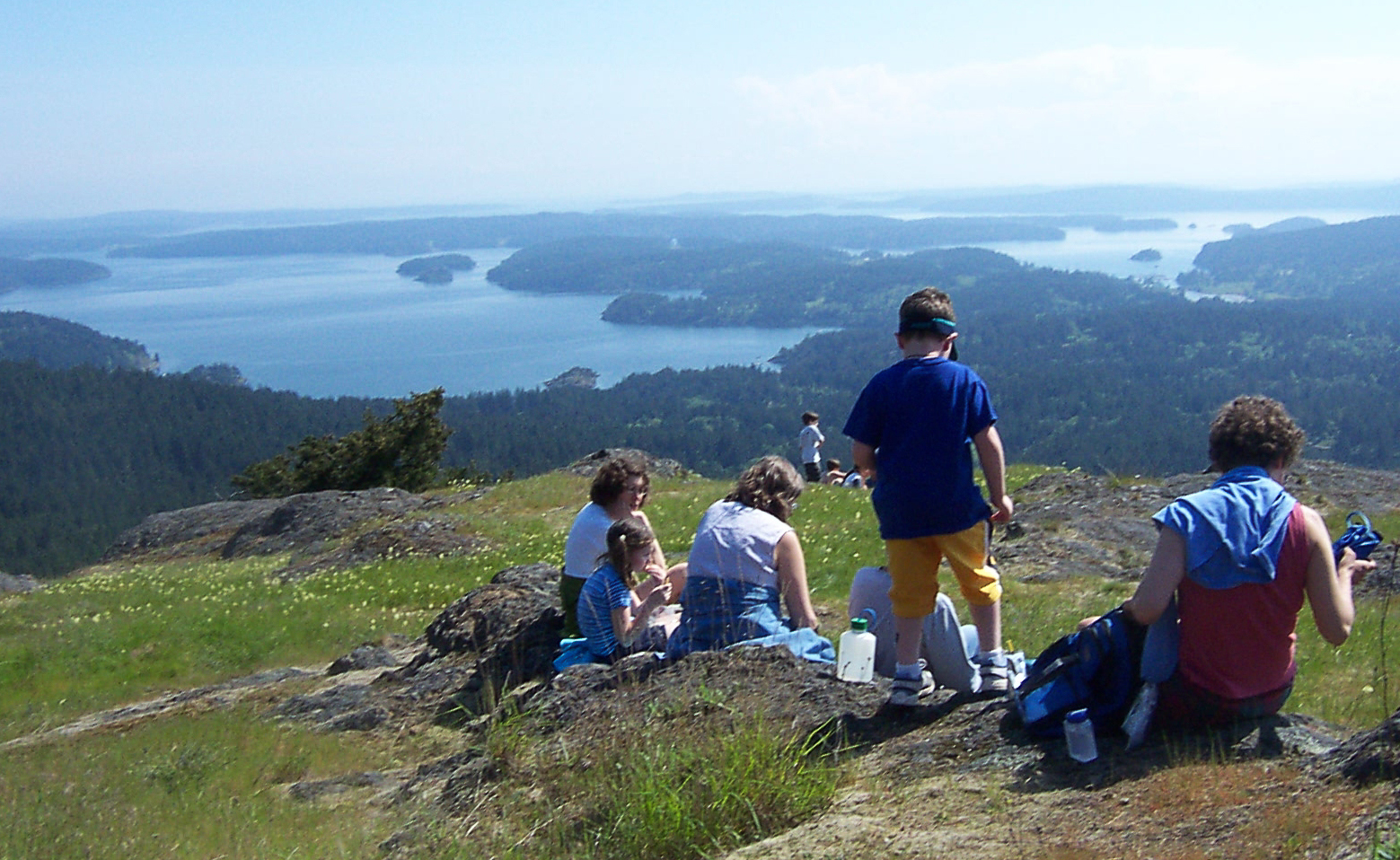
Turtlehead Preserve encompasses the knobby headland that forms the turtle’s “head” at the northwest end of Turtleback Mountain. Standing atop its rocky, windswept half-dome, you’ll see raptors gliding on thermals and some of the most glorious views available in the San Juans. Getting there, while half the fun, is a challenging 5.7-mile round trip from Turtleback Mountain Preserve’s North Trail trailhead.
From the trailhead parking lot just off Crow Valley Road, an old logging road (now multiuse trail) meanders through mixed forest. At 1.6 miles, a sign identifies the trail spur to Waldron Overlook—well worth a short detour to take in the stunning view across President Channel to Waldron’s Point Disney. Another sign at the trail junction points to the Turtlehead Preserve Trail, which goes another 1.3 miles along the turtle’s neck to the summit.
An interpretive sign near the top describes what you’ll find:
“Coming out of forest onto the knob of Turtlehead is a dazzling experience. Layers of islands recede in the shimmering distance. Dragonflies and eagles soar above. Rocky outcrops shelter miniature gardens of drought-tolerant wildflowers and lichens.”
Access: The closest trailhead to the Turtlehead Trail serves the North Trail of Turtleback Mountain Preserve. It’s just off Crow Valley Road (next to the old schoolhouse). The Turtleback Trail can also be accessed from Turtleback’s South Trail (off of Deer Harbor Road), although the hike from this trailhead is more than twice as long. No overnight camping or fires are permitted. Additional restrictions are posted on the trails.
Learn about the history of this preserve

