Love ‘em or hate ‘em, drones—the remote-controlled, helicopter-like gadgets that have inspired a whole new generation of potato guns—can be a valuable tool for conservationists. Organizations from The Nature Conservancy to the National Audubon Society are using them to track wildlife, monitor controlled burns, and map habitat. The aerial imagery from drone cameras can also be a powerful tool to help more people experience the beauty—and fragility—of the lands we seek to protect …
READ MORE:
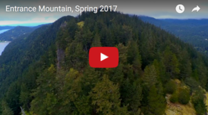
Ready for takeoff on Entrance Mountain.
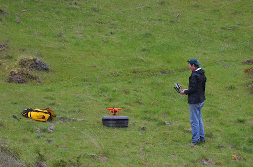
Motivated by the dramatic visual power of aerial video, our Director of Communications & Outreach, Craig Canine, purchased a drone of his own and has begun using it to document some SJPT preserves and conservation easements (with the landowners’ permission) from a lofty new perspective.
To do this legally, he studied for and obtained his commercial “sUAS” (small Unmanned Aerial Systems) license from the FAA. He is now one of just a few “remote pilots” in San Juan County who has earned this credential.
A good deal of the footage Craig has captured so far shows our conserved lands in their somber, winter-ish hues, before they greened up for spring. Even so, their beauty—the beauty inherent in our islands at all times of the year—is uniquely compelling.
See if you agree. Here are two sample videos:
The first was taken on a recent cloudy day on a conservation easement on Entrance Mountain on Orcas Island:
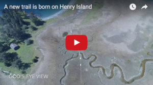
The second video was put together as a thank-you to the hardy team of volunteers who recently installed a series of boardwalk sections to create a new trail across the tidal marsh on Henry Island’s isthmus. The new path, which is entirely on SJPT-protected property, replaces a segment of old trail that crossed private land: